The habitats map of els Ports massif
The
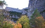
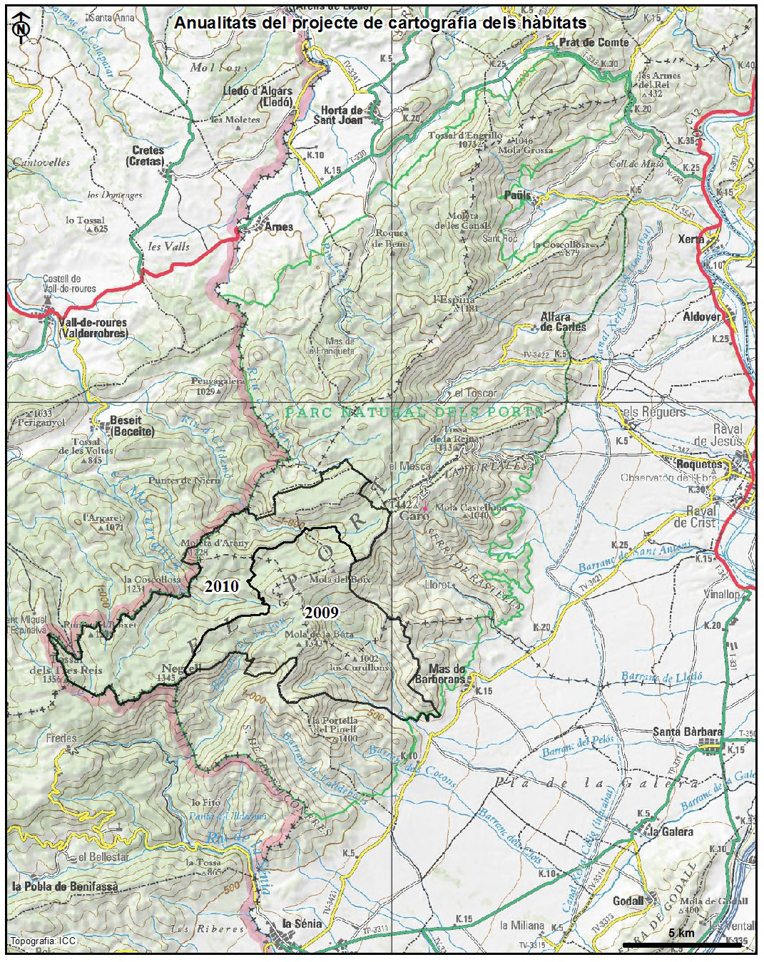
Natural Park of els Ports, of 35,050 hectarees, is located between Montsià, el Baix Ebre and la Terra Alta. The habitat mapping began in 2009, until now has been completed a part of the municipalities of the Mas de Barberans, Roquetes, la Sénia and Tortosa. The mapped area, which includes the Ports Beech Natural Reserve, is less than a quarter part of the total area of the natural park.
The mapping was done using the ortophotomaps (1:5,000 and 1:2,500) of the
Cartographic Institute of Catalonia (infrared and colour) and the fieldwork was done in
2009 and
2010. The legend consists of CORINE units cited and explained in the
Catalan Habitats Manual. The cartographic information is structured in two layers, one of polygons and another of points. Each of which, contains the information of the CORINE habitats and the European Union Habitats of Interest (HCI). The minimum area has been set to 0,2 ha for polygons. Habitats which occupy less surface, are represented as points.
The downloadable layer is not the global map of the natural park, it's only the 2009 and 2010 sectors. The reports of the maps are also partial.
Author: Josep Manuel Álvarez de la Campa.
Implementation period: 2009 and 2010.
Delivery Date: 2010.
Years 2009-2010
Download maps (ETRS89)
[
SHAPE]