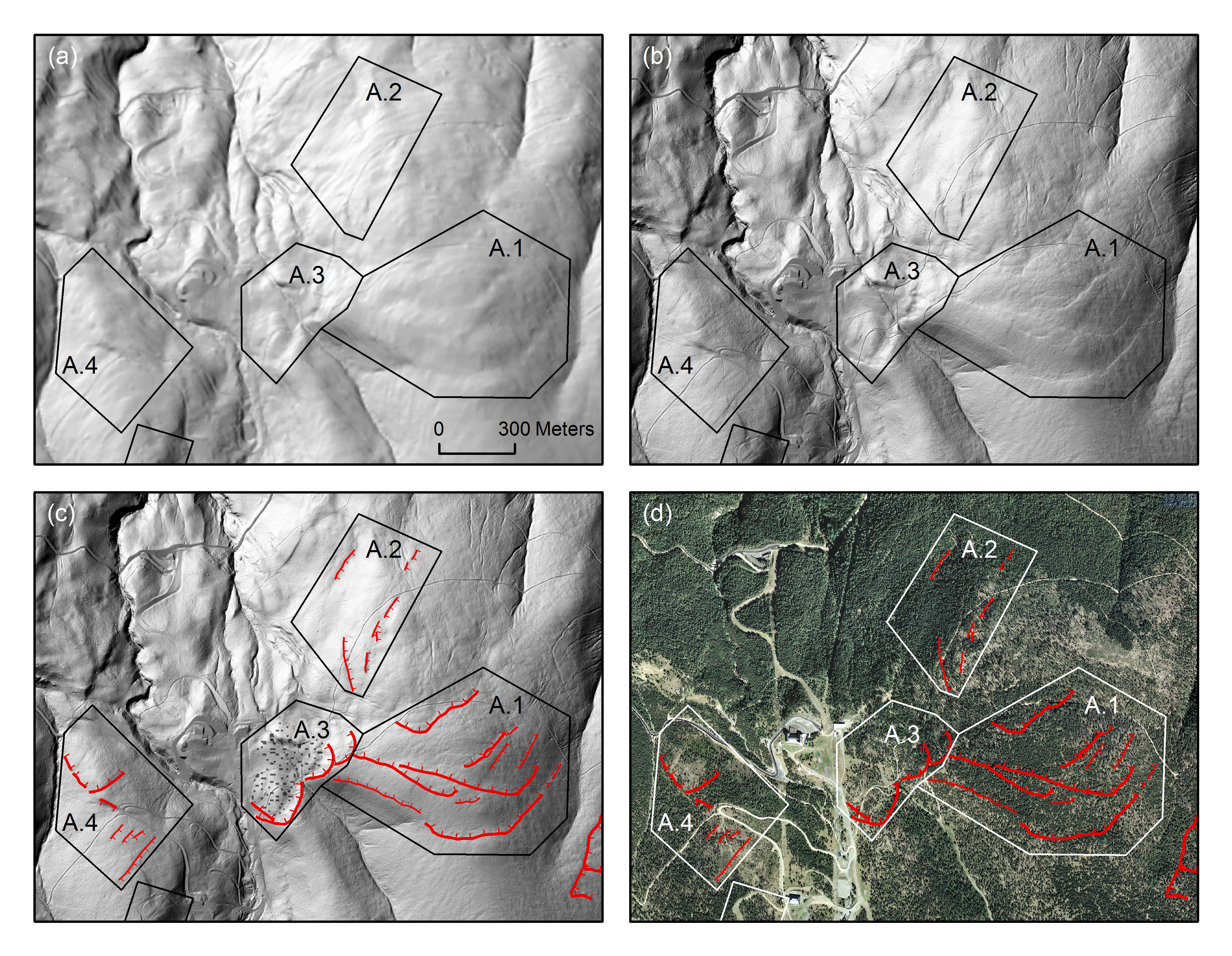
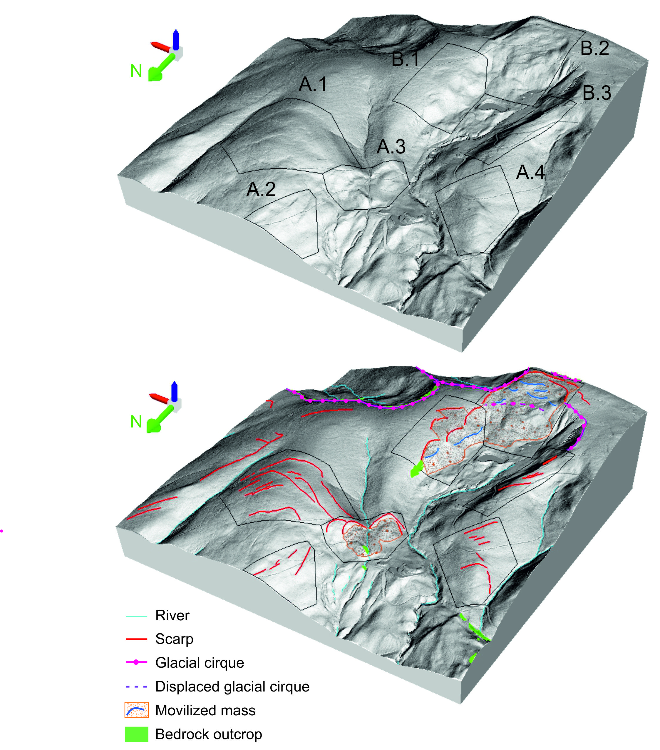
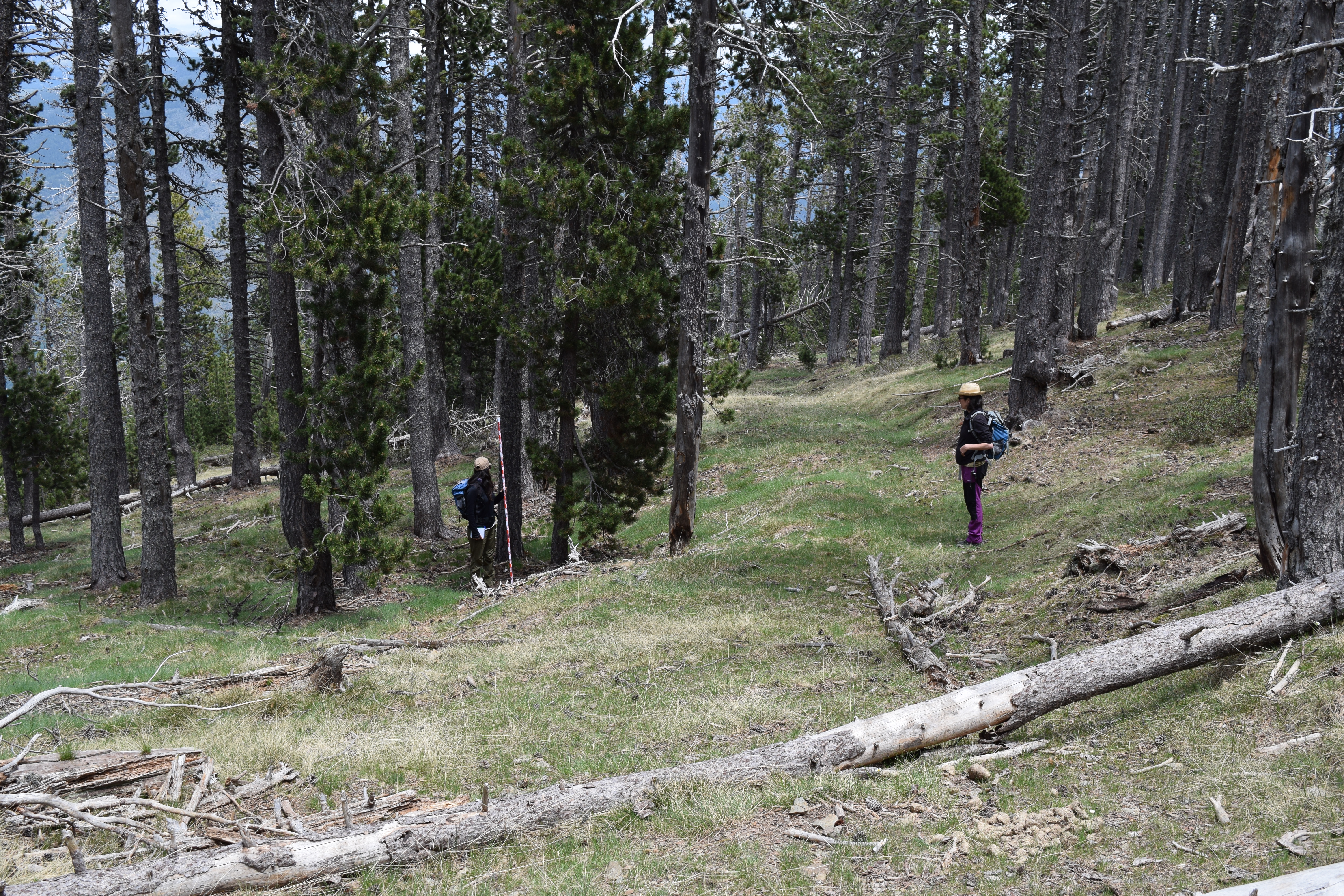
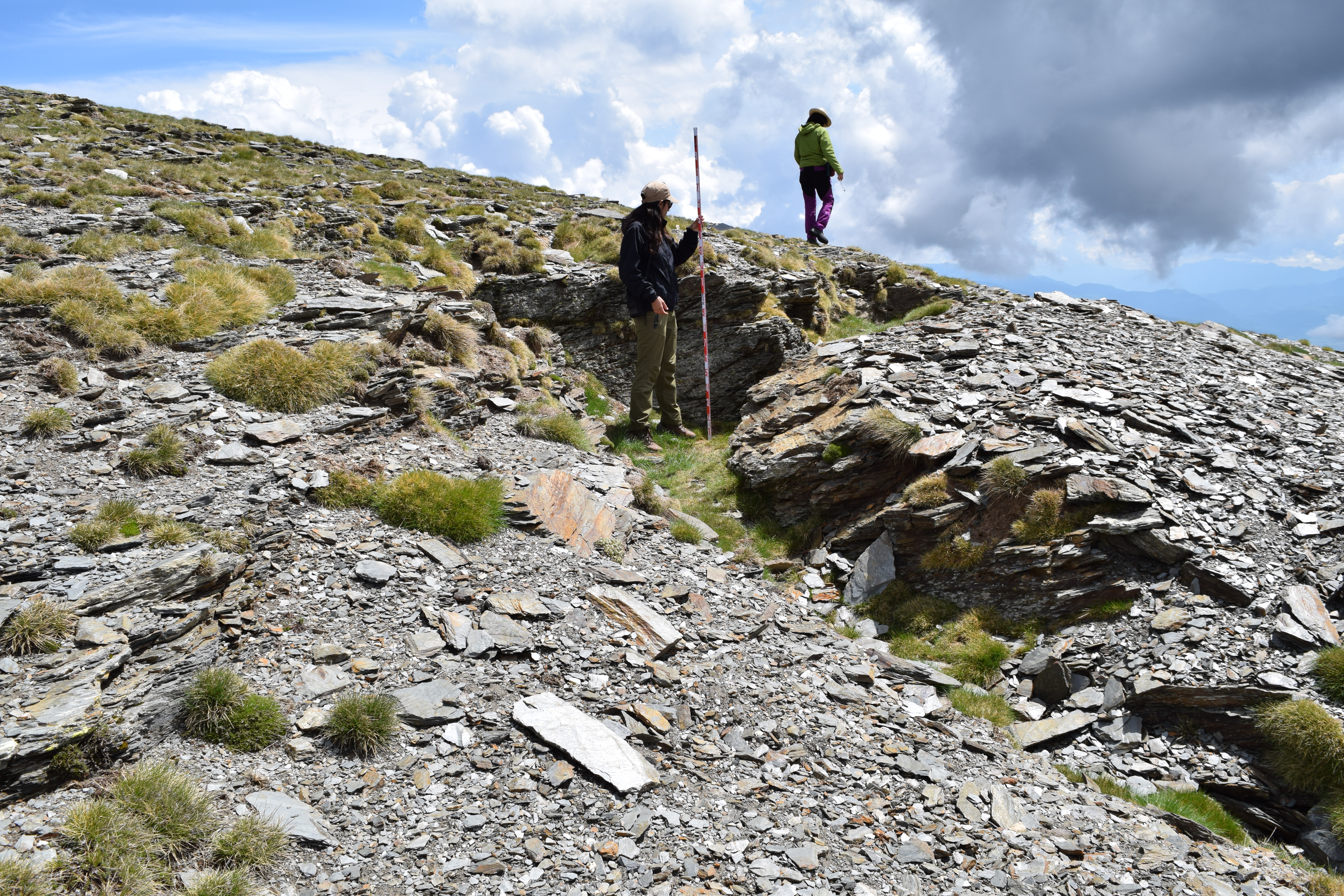
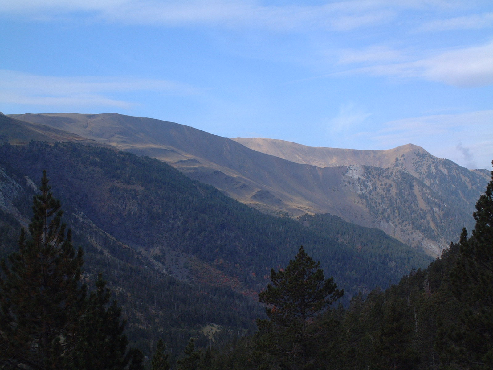
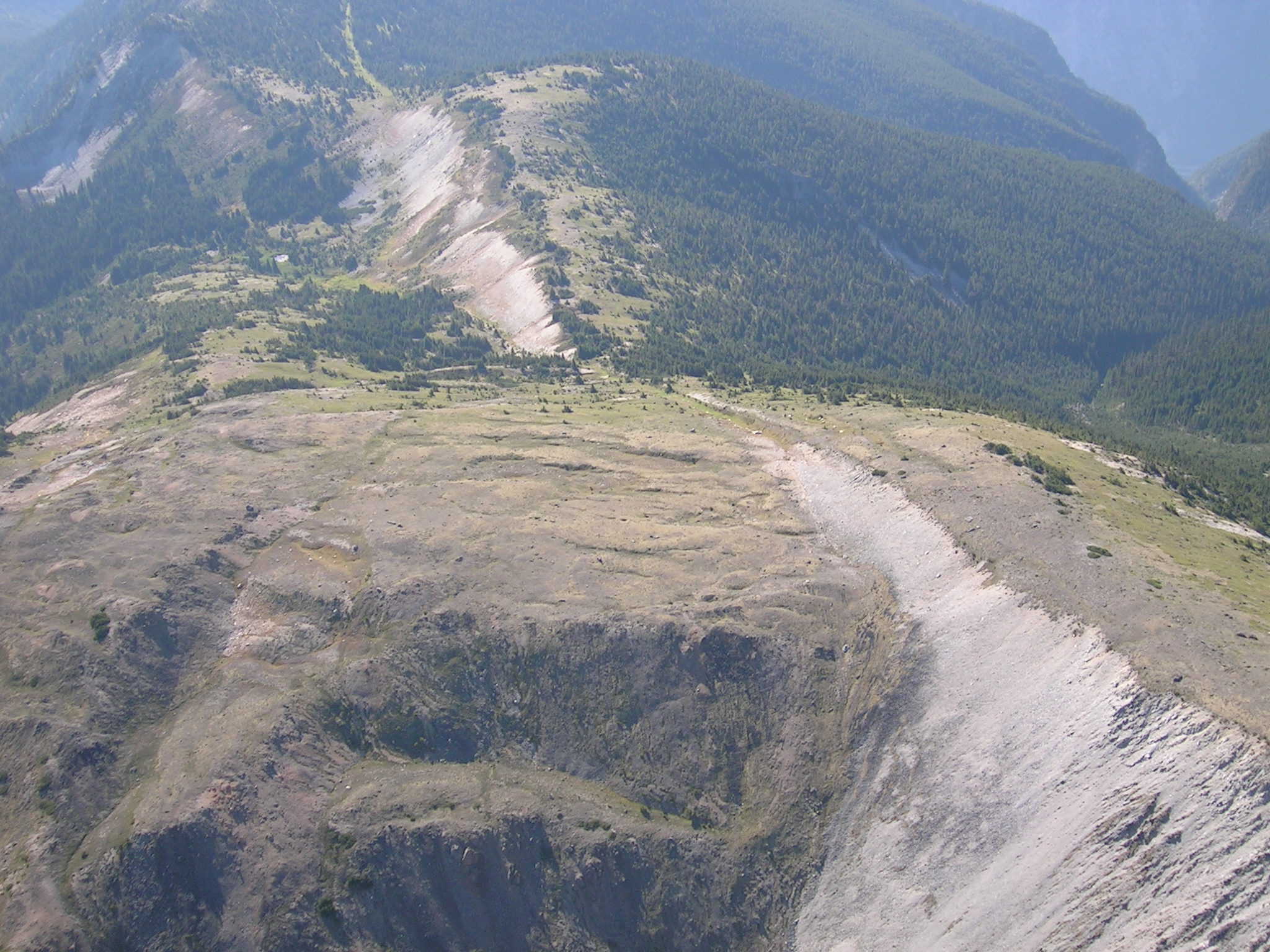
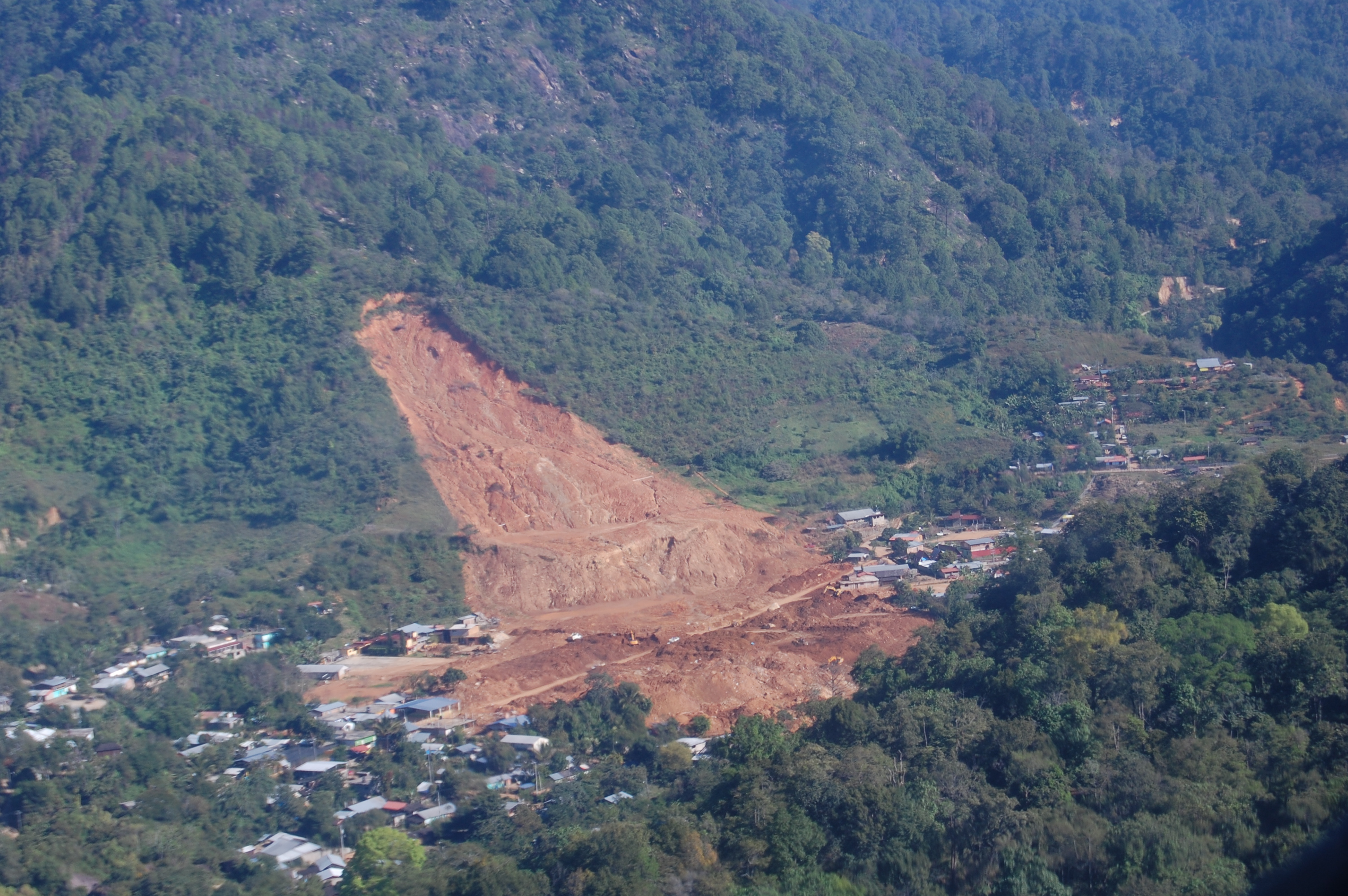
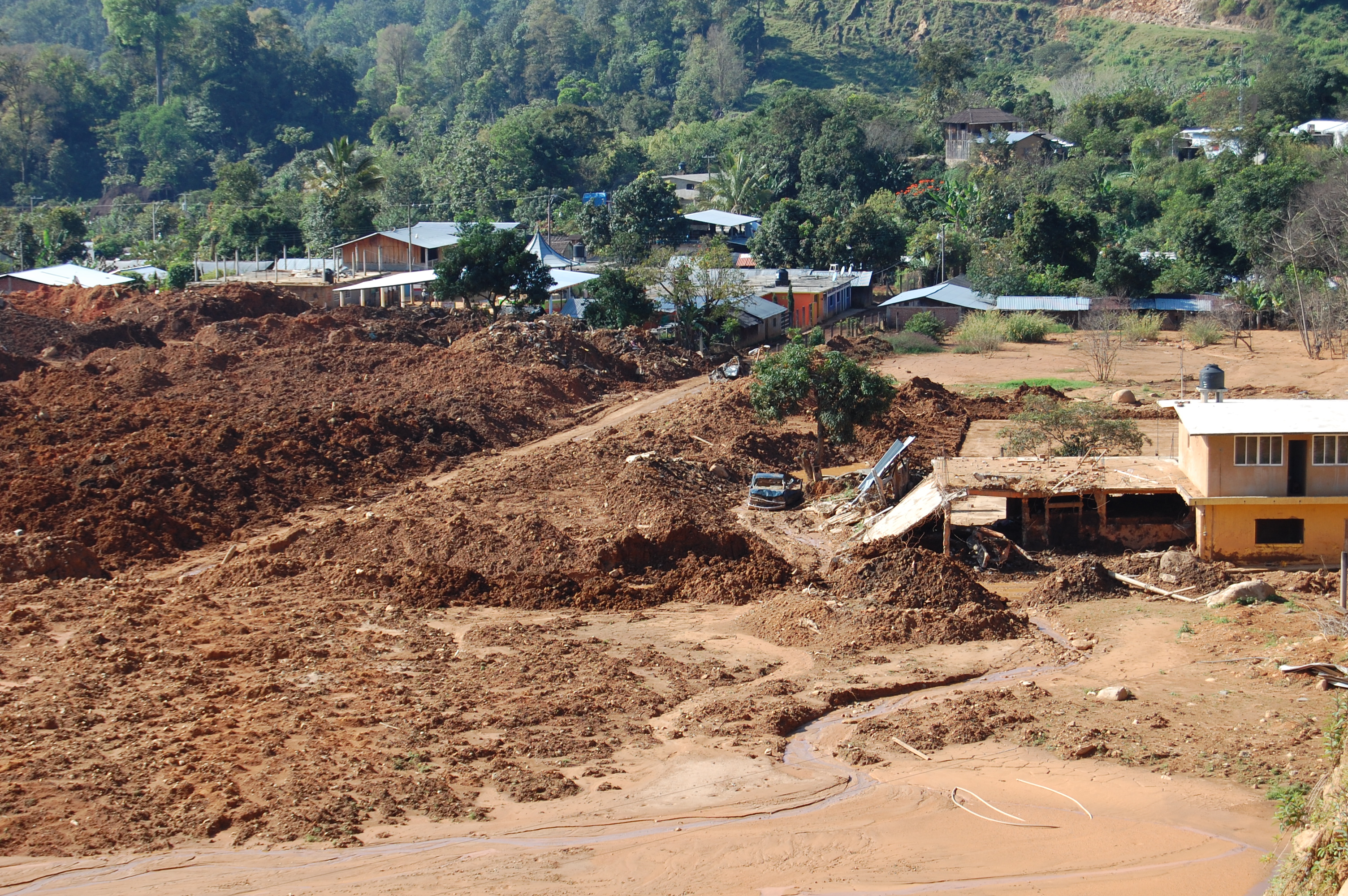
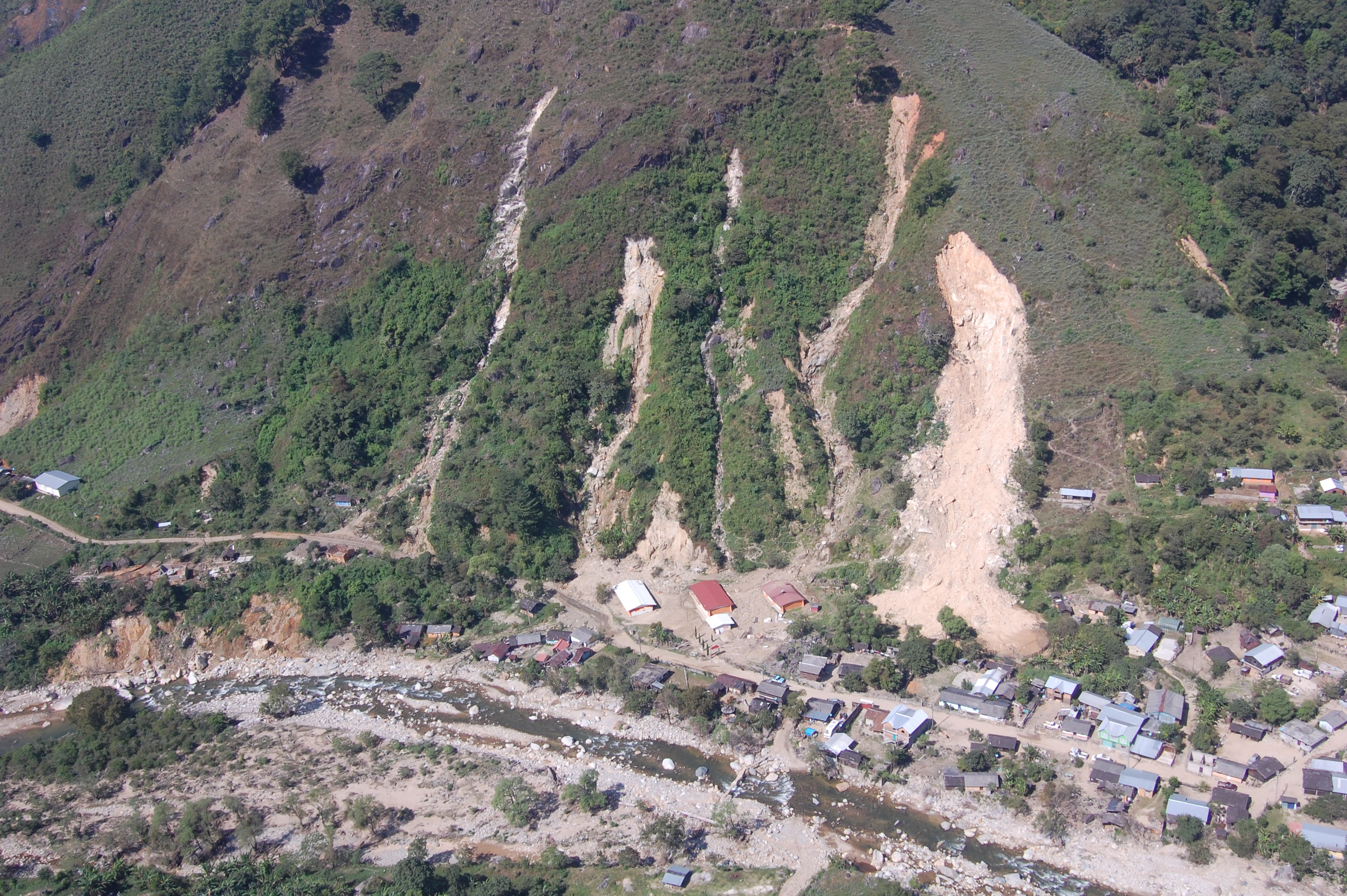
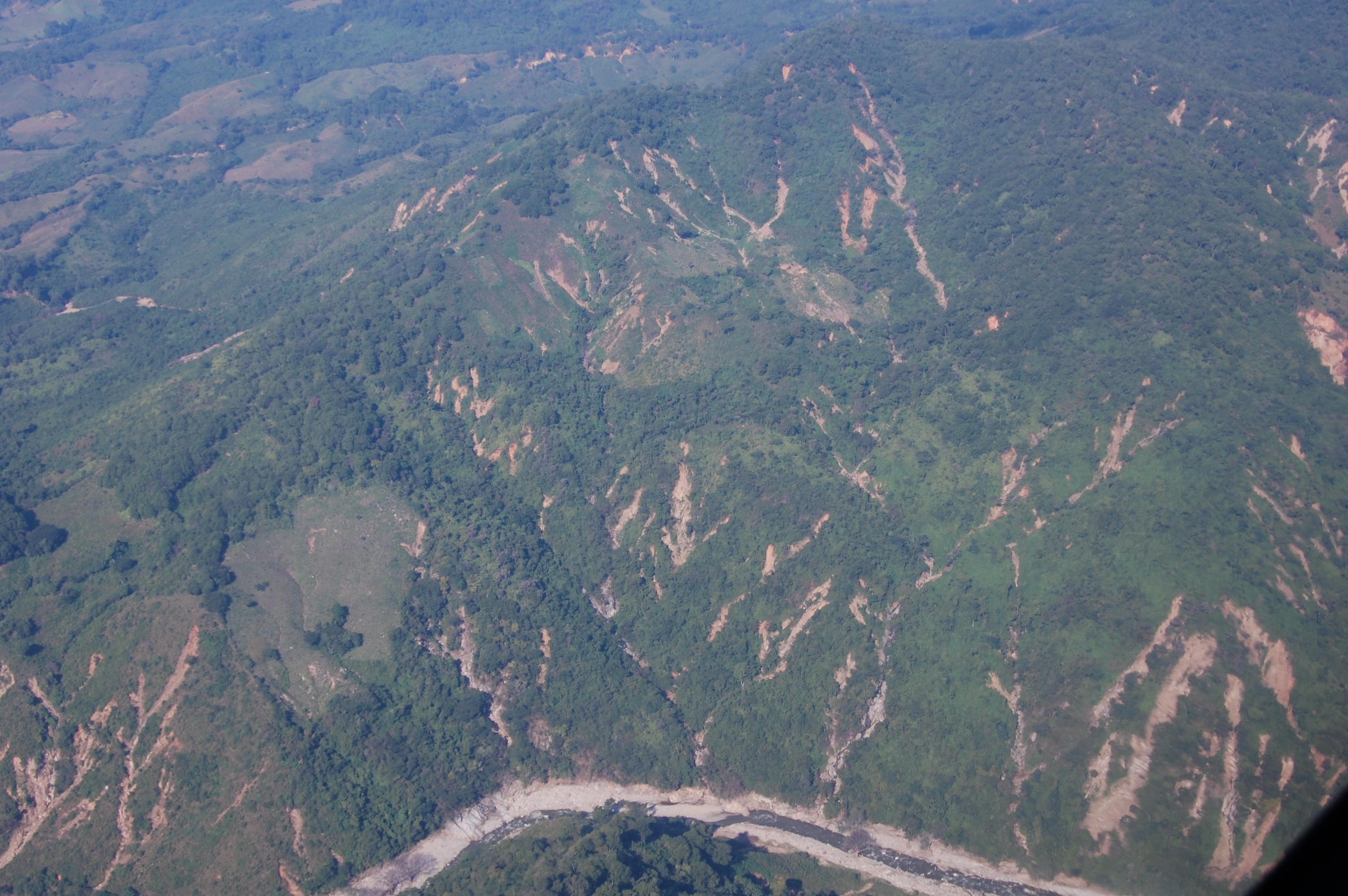
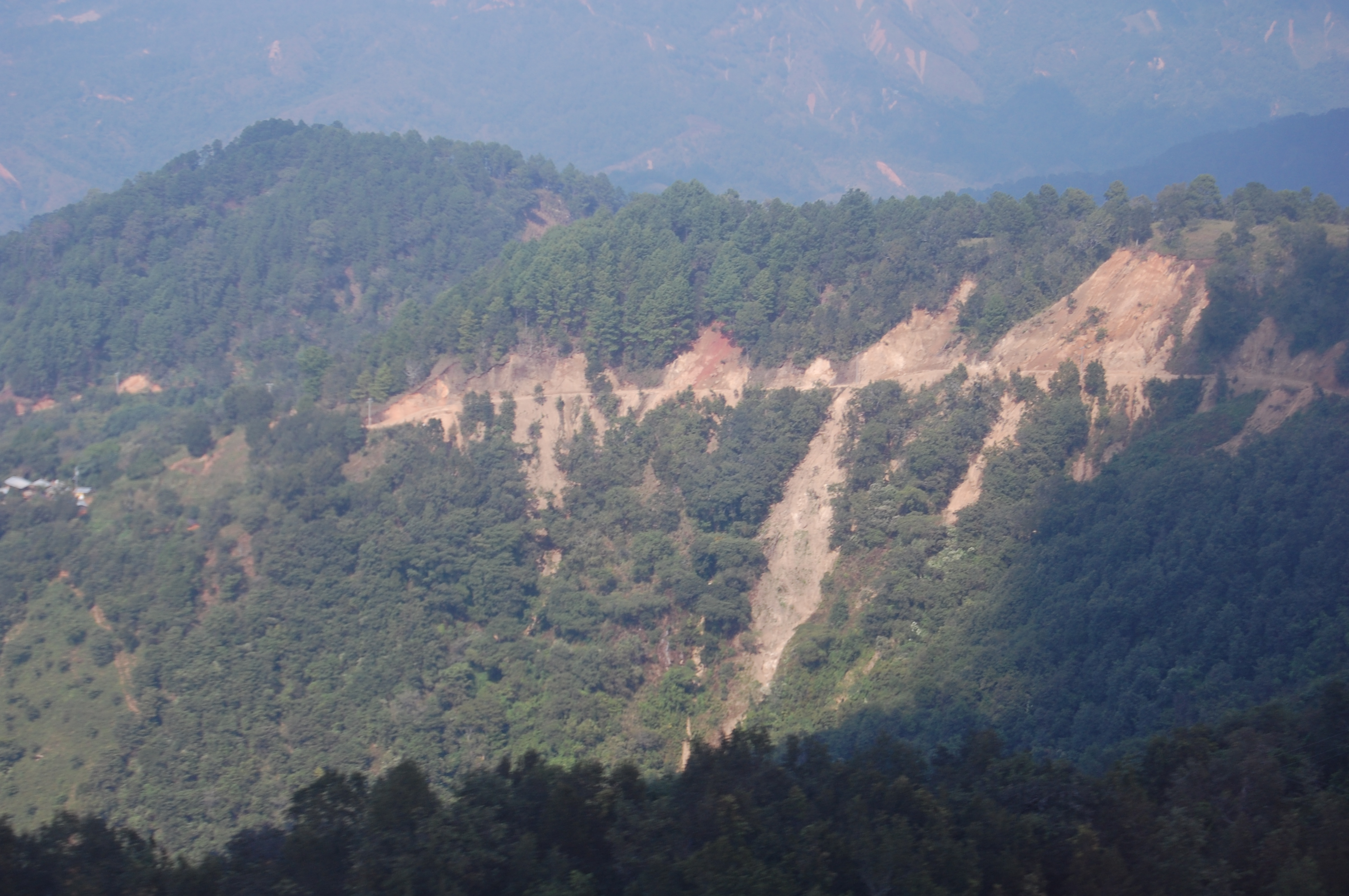
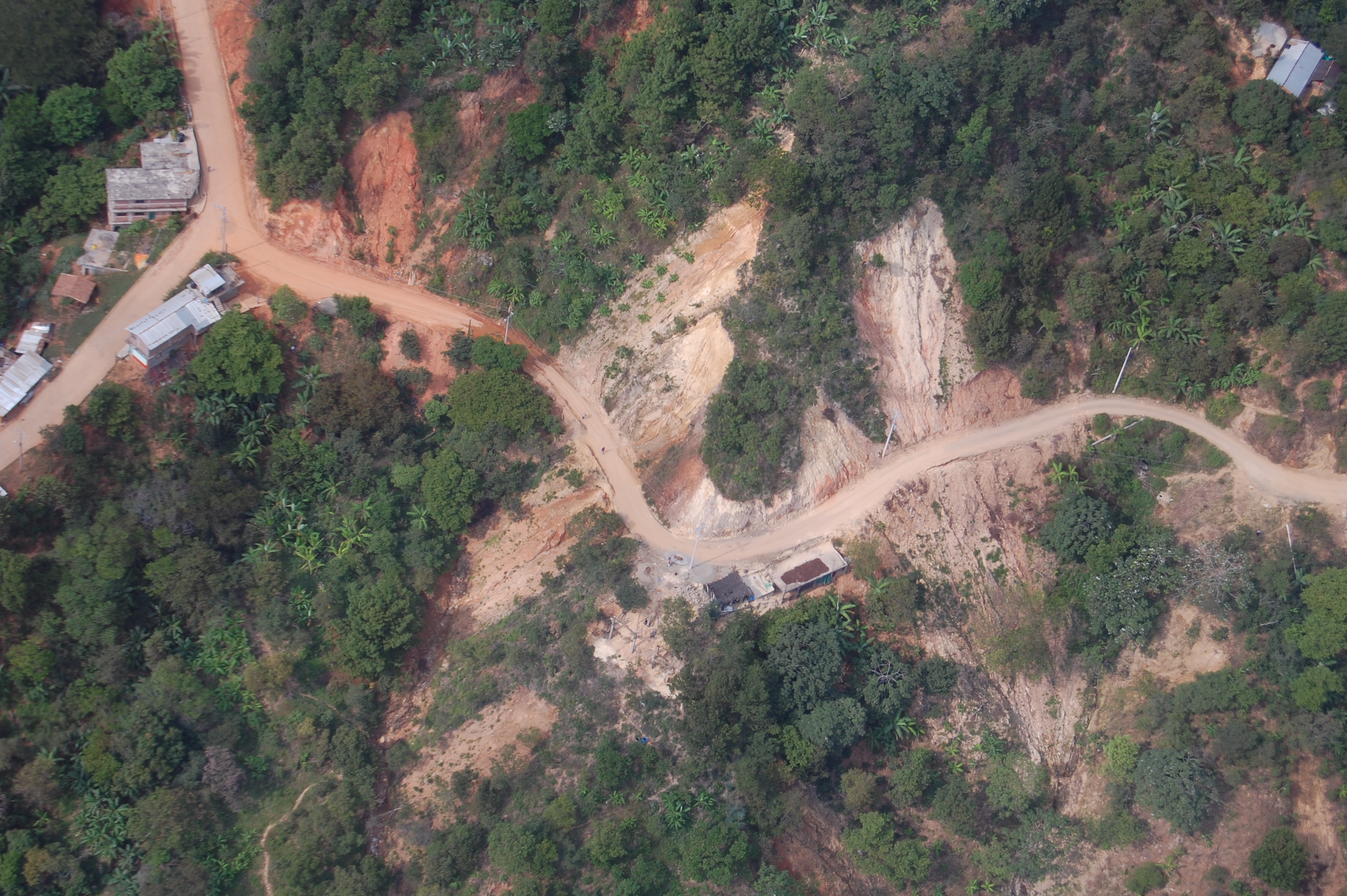
The detection and characterization of landslide-prone areas based on the use of classical aerial photography, satellite image interpretation and field work is quite limited due to the catching effect of the vegetation cover. It is now possible to produce more complete and reliable landslide catalogs from 1) the analysis of high-resolution digital terrain models (DTMs) derived from airborne LiDAR; and 2) by analyzing geomorphic indices from high-resolution DTM. These methodologies are key to establishing with greater precision the geomorphological and structural context where landslides occur, and to improve susceptibility and hazard analyses, useful for risk management.
Objectives
- improve the detection of morphologies associated with landslides;
- evaluate the usefulness of geomorphic indices obtained from high-resolution DTM analysis to characterize the geomorphic and structural context where mass movements occur, and increase knowledge about their conditioning factors;
- detect and characterize landslides in different geomorphological environments to obtain extensive inventories of landslides and to improve susceptibility and hazard maps at a regional scale;
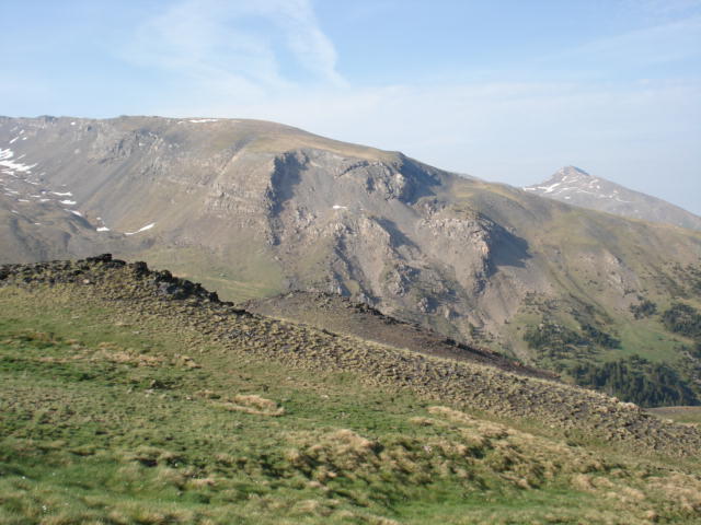
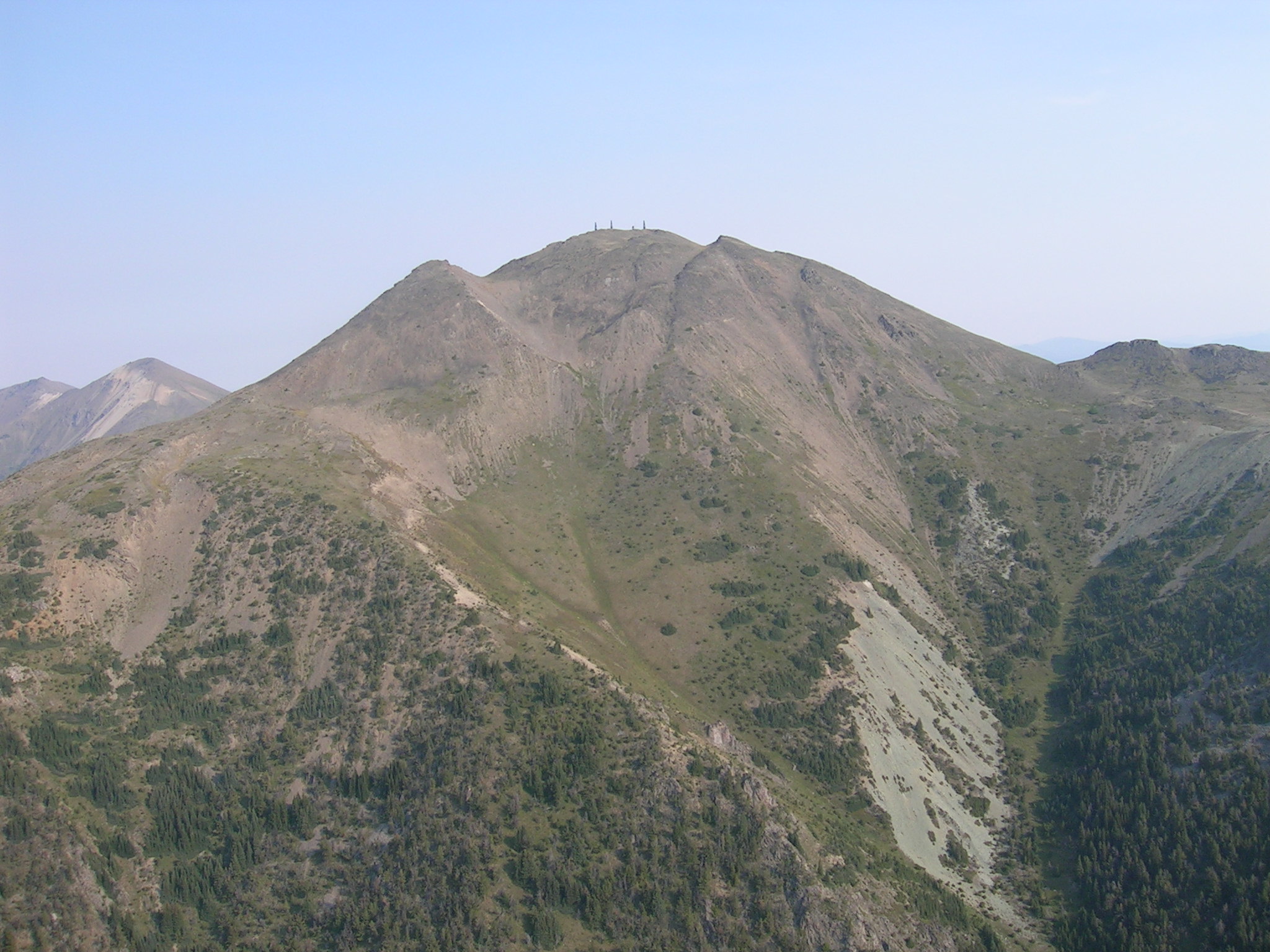
The study regions include the Noguera Pallaresa and Garonne basins (Pyrenees) and the northern Sierra Nevada (Bética mountain range).
Collaborations
We work together with J.P. Galve and J.V. Pérez-Peña (Universidad de Granada-UGR) to analyze the suitability of geomorphological indices for the identification of landslides.

