News

Conference about tendencies in historical cartography

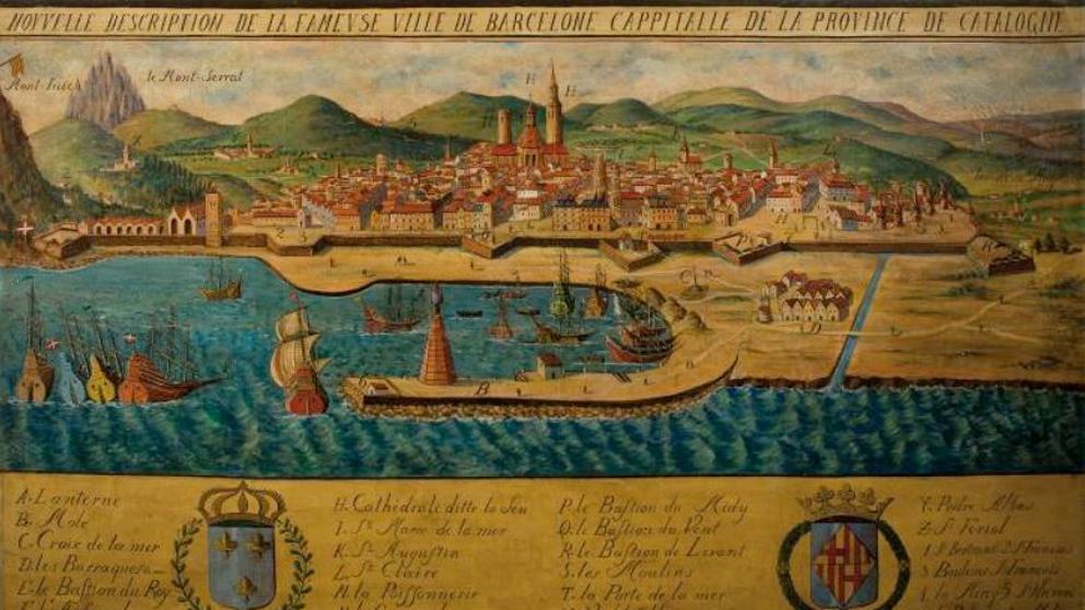
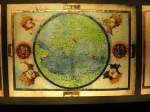
The next 3 of October of 2016, between 9.30 and 19.30h, in the Sala Pi i Sunyer, Institut d’Estudis Catalans, it will take place the conference  “Catalunya i les noves tendències en cartografia històrica“, organized by the Societat Catalana d’Estudis Històrics, the Centre d’Història Contemporània de Catalunya and the ‘Institut Català d’Arqueologia Clàssica. In the conference it will discuss about historical cartography that is […]

Local government of Huesca publishes the map of 1891

Local Government of Huesca has just published in his web all of its cartographic drawings that made the topographer Dionisio Casañal en 1891 about the city and the municipality.  It can be visualised and downloaded the Plano de Huesca in a scale of 1:500 (17 sheets),  1:1.000 (10 sheets) and 1:2.500 (1 sheet), and the Término Municipal de Huesca in a scale of […]

Cartography inventory previous to1900 of Basque Country

The Basque Country University/Euskal Herriko Unibersitatea (UPV/EHU) has just published, in mob format of Microsoft Access with free access, the Inventario digital de la Cartografía Histórica de Euskadi. The inventory includes 3.391 maps and planes previous to 1900, belonging to 76 national and international archives, which represent everything or a part of the Basque Country territory. The work is the […]

El MMB acquires a view of Barcelona of the XVII century

The Museu Marítim de Barcelona has recently acquired a view of Barcelona that reproduces an image of the city quite repeated in  the XVII century. It is an oil painting of 300 x 183 centimetres fron an unknown author and with the title  ‘Nouvelle description de la fameuse ville de Barcelone cappitalle de la province de Catalogne’. The […]

New signposting from Paris Meridian to Pyrenees

To celebrare the 70th anniversary of the Ordre des Géomètres Experts (OGE), the professional association of French topographers , signposted the past 10 of June the pace of the Paris Meridian for the Hispanic-French boundary, between Coll de Pal and Costabona, the municipality of Suitcases, over 2300 metres. The mark consists in a granite milestone that indicates the direction […]

Exhibition “Dibujando el mundo” at the castle of Ponferrada

Until the 12 of June, the Biblioteca Templaria del Castillo de Ponderada shows the exhibition “Dibujando el mundo: cartografía, atlas y portulanos en la Colección Templum Libri”. The exhibition contains a selection of  24 cartographic  works that belong to the fortress and is organised by  the Concejalía de Cultura del Ayuntamiento de Ponferrada in collaboration with the sponsor and owner […]

Literary Geography of London over ancient maps

Authorial London is a magnificent example about how it can be used ancient cartography, in this case to show the geographic footprints of writers over maps which are contemporary. It is a project that emerge from English Department of University of Standfort, which started publishing a guide on Internet to follow the life of some London authors and different […]