- Presentació
- Objectius i competències
- Accés, Preinscripció i Matrícula
- Pla d'Estudis 2024-2026 (inici Preinscripció 15/05/24)
- Pla d'Estudis 2023-2025
- Pla d'estudis 2022-2024
- FAQ i altres qüestions importants
- Professorat
- Sortides professionals
- Beques
- Patrocinadors
- Cicle de conferències
- Sessions informatives i Xerrades
- Ofertes laborals
- Notícies i novetats
- Contacte

Detall MHGM
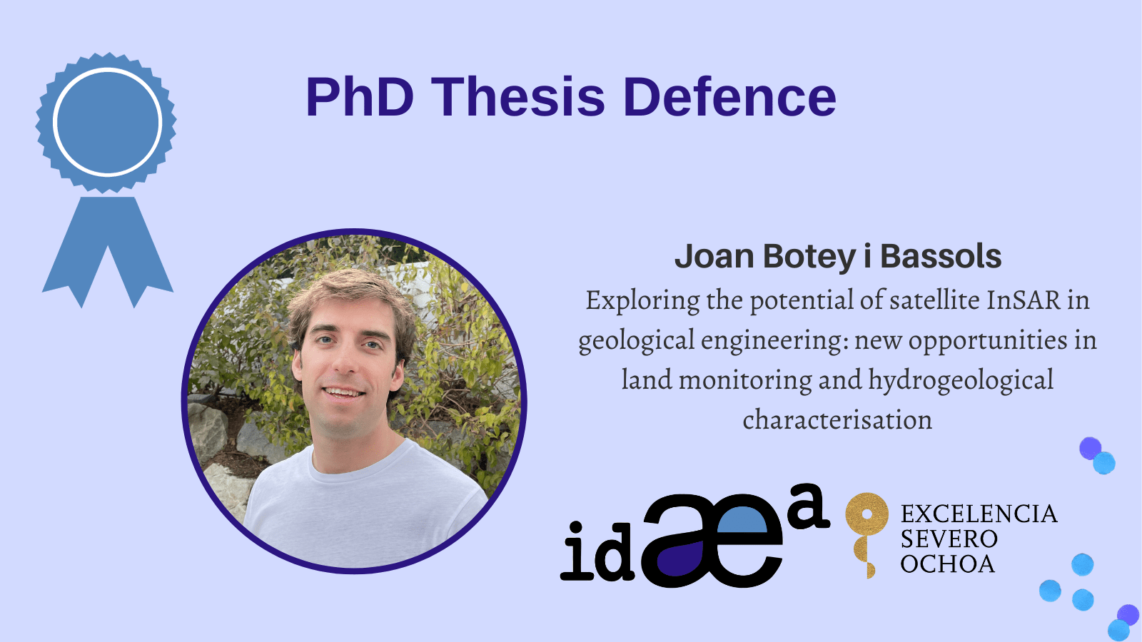
PhD Thesis Defence
The PhD student Joan Botey i Bassols, from the Groundwater and Hydrogeochemistry group, will defend his tesis:
Exploring the potential of satellite InSAR in geological engineering: new opportunities in land monitoring and hydrogeological characterisation
Directors: Enric Vázquez-Suñé,Pierre Gerard and Michele Crosetto
Thesis Committee: Giorgia Giardina, Rudy Rosetto and Marcel Hürlimann
on 2nd February at 11:00h in Sala de tesines – Escola de Camins UPC Campus Nord, C1-002.
If you want to attend online, click on this link: http://meet.google.com/rbx-jtei-rhn
Abstract:
Interferometry with Synthetic Aperture Radar (InSAR) is a remote sensing technique to measure displacements of the observed surface, either the ground or any structure on it. Although the systematic acquisition of SAR data from satellites started in the 1990s, InSAR is a technique still in development. The continuous improvement of the successive SAR satellite constellations in terms of reliability, revisit time, spatial resolution and data accessibility, and the processing techniques of SAR data in the estimation of the surface displacement are improving the performance of InSAR. Thus, this doctoral thesis aims to explore the new opportunities that InSAR offers today. In particular, the objectives are, first, to explore novel contributions of InSAR in geological engineering, more specifically, in land monitoring and the hydrogeological characterisation of the ground; and, second, to do so while covering both qualitative and quantitative approaches at both regional and local scales. These goals are addressed through four questions. The first question aims to investigate whether InSAR’s spatial resolution and precision are high enough today to monitor ground deformation at such a local scale and in such a changing environment as a construction site. Applied to the ground deformation induced by the dewatering of civil engineering works, InSAR provides a much more complete view and understanding of the observed phenomena than more common alternative techniques such as levelling. However, levelling usually provides more precise measurements. Thus, a combination of both techniques will improve and make the monitoring of civil engineering works more reliable. The second question is whether, because of its spatial data density and its precision, InSAR is suitable for the numerical modelling of extensive ground deformation phenomena. The results achieved thanks to InSAR data in the hydromechanical numerical modelling of regional and long-term ground subsidence related to the overexploitation of confined aquifers prove to be significantly better than the results obtained with other data sources. InSAR data can, first, cover the whole extent of the aquifer system and identify several different deformation phenomena and, second, improve the design of the numerical models and the calibration of the ground parameters, thus achieving a significantly better reproduction and understanding of the observed ground subsidence that enable the design of more adequate and effective policies for land planning and the management of (ground)water resources. The third question turns to a novel InSAR technique: coherence-change detection (CCD), a method to detect and map, under certain conditions, changes in the observed surface. In particular, the question is whether InSAR coherence can indeed remotely detect torrential sediment transport events in arid environments. The conclusion is that InSAR coherence is not only able to detect the occurrence of such events but shows a greater detection capacity than the meteorological data, being much more operative and economical than field campaigns. Finally, the fourth question is whether InSAR coherence can remotely map these events, aiming to evaluate the uncertainty that other factors that may also affect InSAR coherence introduce in the CCD maps. The comparison of several mapping methods with different sensitivity to each component of the coherence changes show that CCD methods are able to locate the areas affected by such events, although rugged areas require a thorough analysis and the precise delimitation of the affected areas still presents some uncertainty. All in all, despite the weaknesses that are still to be resolved, InSAR already offers valuable contributions to geological engineering.
More information: https://www.idaea.csic.es/event/phd-thesis-defence-by-joan-botey-i-bassols/


