We will inventory, study, reproduce in 3-D and identify the origins of the materials retrieved in archaeological interventions in monasteries from different periods. We will project the connections among different regions in the Mediterranean onto a specific digital map.

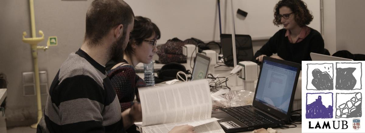
Archaeological interventions reveal the structures that comprised the characteristic spaces of a given site and the changes that have taken place there over time. Through the excavations we are carrying out in monastic establishments, we can grasp how the different areas within the monastery were organised and how they interacted with their environs, as well as their evolution during the period when they were actively operating. Along with these structures, we are retrieving materials which help us date the different strata and make it possible to interpret the spaces and the way they were used. These materials can vary in nature from pottery to metal objects, along with objects made of glass, stone or bone, and even animal or plant remains. They all enable us to determine the living conditions of the site’s inhabitants. We are able to identify some objects as having been made locally or nearby and can thus identify the raw materials in the region and classify them by typology and manufacturing technology. Others come from more distant regions, usually within the western or eastern Mediterranean during our timeframe.
The origin of these materials reflects a flow of trade exchanges which varies over time and points to connections and relationships that extend beyond materiality, since wherever objects reach, so do ideas.
These are the reasons which have led us to move forward with the initiative of making a virtual library of artefacts from the archaeological campaigns which we have been carrying out for years now. It will include databases in which not only are the chosen pieces identified and dated, but we will also indicate their provenance and make 3-D reconstructions of the complete pieces based on the fragments or other examples or parallels which we can locate in museums, catalogues and inventories. We will also provide a sketch of each fragment along with its photogrammetric representation.
Finally, we will enter the data on their provenance into a Geographic Information System and generate maps showing the flows of exchanges which took place between our sites and the different regions from which the artefacts come. This will reveal the intensity of these relations and the changes that took place over time. We will present the information generated online in open-source format, where both the database and the cartography we create will be open for reference.